Track
Introduction
The photograph on this page of Track by Nigel Mykura as part of the Geograph project.
The Geograph project started in 2005 with the aim of publishing, organising and preserving representative images for every square kilometre of Great Britain, Ireland and the Isle of Man.

There are currently over 7.5m images from over 14,400 individuals and you can help contribute to the project by visiting https://www.geograph.org.uk
Track
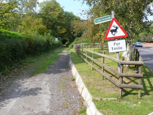
Image: © Nigel Mykura Taken: 16 Sep 2011
This track and bridle path appears to have been the original road to Shipham from Cheddar as it follows the bottom of the valley. The more modern road is on the right and goes over the shoulder of the hill.
Images are licensed for reuse under creativecommons.org/licenses/by-sa/2.0
Image Location
Latitude
51.289927
Longitude
-2.791112