Cycle Path
Introduction
The photograph on this page of Cycle Path by James Emmans as part of the Geograph project.
The Geograph project started in 2005 with the aim of publishing, organising and preserving representative images for every square kilometre of Great Britain, Ireland and the Isle of Man.

There are currently over 7.5m images from over 14,400 individuals and you can help contribute to the project by visiting https://www.geograph.org.uk
Cycle Path
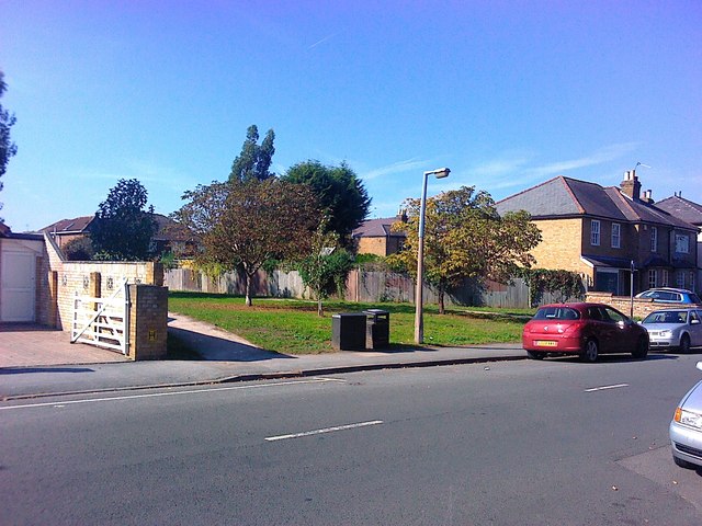
Image: © James Emmans Taken: 2 Oct 2011
The wide strip of land between the houses was left to build a road but it never got built so a cycle path has been laid instead. There are examples of railways and other projects that were started but never finished. There are tunnels that were abandoned also.
Images are licensed for reuse under creativecommons.org/licenses/by-sa/2.0
Image Location
Latitude
51.411034
Longitude
-0.40364