Burry Pill
Introduction
The photograph on this page of Burry Pill by Chris Henley as part of the Geograph project.
The Geograph project started in 2005 with the aim of publishing, organising and preserving representative images for every square kilometre of Great Britain, Ireland and the Isle of Man.

There are currently over 7.5m images from over 14,400 individuals and you can help contribute to the project by visiting https://www.geograph.org.uk
Burry Pill
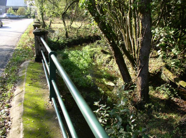
Image: © Chris Henley Taken: 18 Oct 2006
The bridge over this small stream is well built. On each side of the road is a row of solid stone piers supporting heavy railings.
Images are licensed for reuse under creativecommons.org/licenses/by-sa/2.0
Image Location


Leaflet Map data © OpenStreetMap
Latitude
51.592325
Longitude
-4.220233