Gunnersbury Park
Introduction
The photograph on this page of Gunnersbury Park by Thomas Nugent as part of the Geograph project.
The Geograph project started in 2005 with the aim of publishing, organising and preserving representative images for every square kilometre of Great Britain, Ireland and the Isle of Man.

There are currently over 7.5m images from over 14,400 individuals and you can help contribute to the project by visiting https://www.geograph.org.uk
Gunnersbury Park
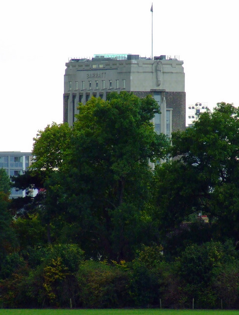
Image: © Thomas Nugent Taken: 26 Sep 2011
Looking towards the former Wallis House, now the Barratt Building. A 1930s Art Deco style factory that was converted to flats by Barratt in 2003.
Images are licensed for reuse under creativecommons.org/licenses/by-sa/2.0
Image Location
Latitude
51.495832
Longitude
-0.295082