A39 at Pomparles Bridge over River Brue
Introduction
The photograph on this page of A39 at Pomparles Bridge over River Brue by David Smith as part of the Geograph project.
The Geograph project started in 2005 with the aim of publishing, organising and preserving representative images for every square kilometre of Great Britain, Ireland and the Isle of Man.

There are currently over 7.5m images from over 14,400 individuals and you can help contribute to the project by visiting https://www.geograph.org.uk
A39 at Pomparles Bridge over River Brue
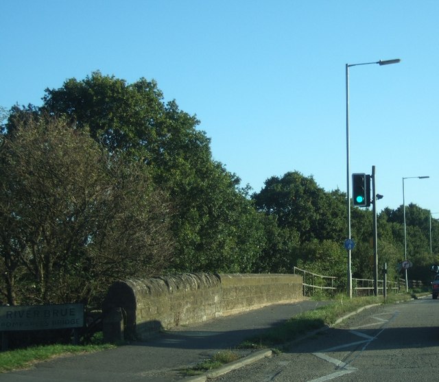
Image: © David Smith Taken: 28 Sep 2011
It is clear that the wall of the bridge has been built in two stages; presumably the closer end is the older.
Images are licensed for reuse under creativecommons.org/licenses/by-sa/2.0
Image Location
Latitude
51.136886
Longitude
-2.735322