The downs and coast, Herne Bay
Introduction
The photograph on this page of The downs and coast, Herne Bay by pam fray as part of the Geograph project.
The Geograph project started in 2005 with the aim of publishing, organising and preserving representative images for every square kilometre of Great Britain, Ireland and the Isle of Man.

There are currently over 7.5m images from over 14,400 individuals and you can help contribute to the project by visiting https://www.geograph.org.uk
The downs and coast, Herne Bay
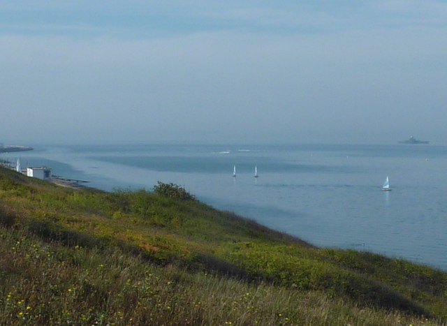
Image: © pam fray Taken: 1 Oct 2011
Near the eastern end of Beacon Hill. The Look-out Station is to the left and on the horizon to the right is the remains of Herne Bay Pier.
Images are licensed for reuse under creativecommons.org/licenses/by-sa/2.0
Image Location
Latitude
51.372694
Longitude
1.140983