Southern end of Eureka Place, Ebbw Vale
Introduction
The photograph on this page of Southern end of Eureka Place, Ebbw Vale by Jaggery as part of the Geograph project.
The Geograph project started in 2005 with the aim of publishing, organising and preserving representative images for every square kilometre of Great Britain, Ireland and the Isle of Man.

There are currently over 7.5m images from over 14,400 individuals and you can help contribute to the project by visiting https://www.geograph.org.uk
Southern end of Eureka Place, Ebbw Vale
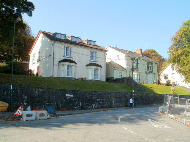
Image: © Jaggery Taken: 29 Sep 2011
The houses are set several metres above road level. The B4478 Church Street becomes the B4478 Eureka Place ahead.
Images are licensed for reuse under creativecommons.org/licenses/by-sa/2.0
Image Location
Latitude
51.774348
Longitude
-3.208718