Road End, Greenfield
Introduction
The photograph on this page of Road End, Greenfield by Michael Fox as part of the Geograph project.
The Geograph project started in 2005 with the aim of publishing, organising and preserving representative images for every square kilometre of Great Britain, Ireland and the Isle of Man.

There are currently over 7.5m images from over 14,400 individuals and you can help contribute to the project by visiting https://www.geograph.org.uk
Road End, Greenfield
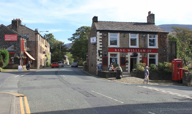
Image: © Michael Fox Taken: 27 Sep 2011
The name 'Road End' is thought to have arisen from Chew Valley Road having stopped here for a few years before being extended out of the picture towards the 'Clarence' later in the nineteenth century.
Images are licensed for reuse under creativecommons.org/licenses/by-sa/2.0
Image Location
Latitude
53.534902
Longitude
-2.004941