Court Lodge Road
Introduction
The photograph on this page of Court Lodge Road by Ian Capper as part of the Geograph project.
The Geograph project started in 2005 with the aim of publishing, organising and preserving representative images for every square kilometre of Great Britain, Ireland and the Isle of Man.

There are currently over 7.5m images from over 14,400 individuals and you can help contribute to the project by visiting https://www.geograph.org.uk
Court Lodge Road
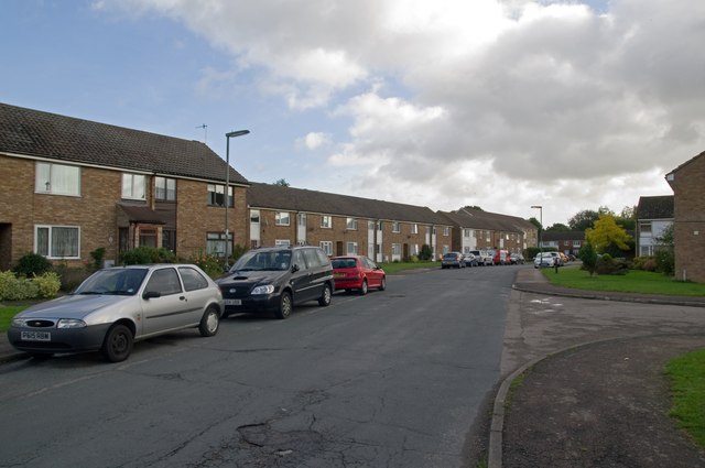
Image: © Ian Capper Taken: 11 Sep 2011
Part of the Court Lodge Estate, built in 1965 for the then local council, Dorking and Horley RDC. The estate is named after Court Lodge Farm, which was situated next to the River Mole.
Images are licensed for reuse under creativecommons.org/licenses/by-sa/2.0
Image Location
Latitude
51.1762
Longitude
-0.17475