Lilybank Mews
Introduction
The photograph on this page of Lilybank Mews by william as part of the Geograph project.
The Geograph project started in 2005 with the aim of publishing, organising and preserving representative images for every square kilometre of Great Britain, Ireland and the Isle of Man.

There are currently over 7.5m images from over 14,400 individuals and you can help contribute to the project by visiting https://www.geograph.org.uk
Lilybank Mews
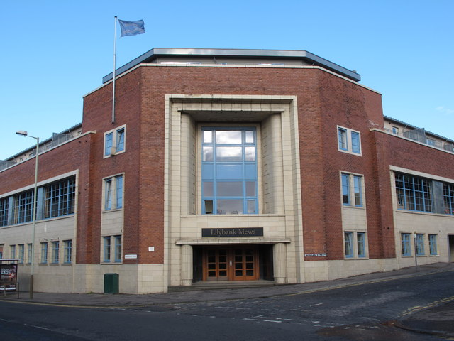
Image: © william Taken: 6 Sep 2011
This was a jute mill on Arbroath Road and is now converted into flats. I went to school across the road.
Images are licensed for reuse under creativecommons.org/licenses/by-sa/2.0
Image Location
Latitude
56.468626
Longitude
-2.954504