Farmland, Kelvinhead
Introduction
The photograph on this page of Farmland, Kelvinhead by Richard Webb as part of the Geograph project.
The Geograph project started in 2005 with the aim of publishing, organising and preserving representative images for every square kilometre of Great Britain, Ireland and the Isle of Man.

There are currently over 7.5m images from over 14,400 individuals and you can help contribute to the project by visiting https://www.geograph.org.uk
Farmland, Kelvinhead
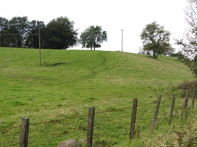
Image: © Richard Webb Taken: 30 Sep 2011
The signifigance of the name Kelvinhead passed me by when I was there. This is not just the upper reaches of one of Glasgow's famous rivers, but the east - west watershed of Scotland. Strictly speaking this field is just west of the watershed, but I expect Dave Hewitt and those who followed him doing the epic walk would have used the road to Banton beside this field.
Images are licensed for reuse under creativecommons.org/licenses/by-sa/2.0
Image Location
Latitude
55.984623
Longitude
-3.996939