The way from the station to the town, Abergavenny
Introduction
The photograph on this page of The way from the station to the town, Abergavenny by Derek Harper as part of the Geograph project.
The Geograph project started in 2005 with the aim of publishing, organising and preserving representative images for every square kilometre of Great Britain, Ireland and the Isle of Man.

There are currently over 7.5m images from over 14,400 individuals and you can help contribute to the project by visiting https://www.geograph.org.uk
The way from the station to the town, Abergavenny
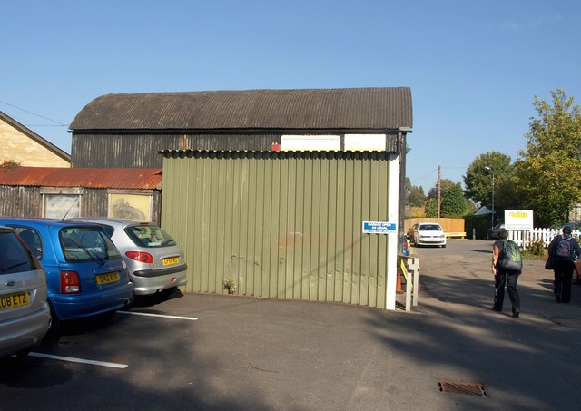
Image: © Derek Harper Taken: 28 Sep 2011
This doesn't look very promising, but it's rightly signposted as the quickest route on foot or bike. This is the northern end of the station car park; you go past a garage and Carter Construction, and then onto a footpath into Holywell Crescent ...
Images are licensed for reuse under creativecommons.org/licenses/by-sa/2.0
Image Location


Leaflet Map data © OpenStreetMap
Latitude
51.81759
Longitude
-3.009377