Deep ditch by Pilning Street
Introduction
The photograph on this page of Deep ditch by Pilning Street by Robin Stott as part of the Geograph project.
The Geograph project started in 2005 with the aim of publishing, organising and preserving representative images for every square kilometre of Great Britain, Ireland and the Isle of Man.

There are currently over 7.5m images from over 14,400 individuals and you can help contribute to the project by visiting https://www.geograph.org.uk
Deep ditch by Pilning Street
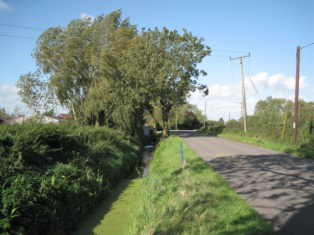
Image: © Robin Stott Taken: 13 Sep 2011
Part of a network of drainage channels that converge on Ellinghurst Rhine. Roofs of Torrs Farm on the left.
Images are licensed for reuse under creativecommons.org/licenses/by-sa/2.0
Image Location
Latitude
51.561415
Longitude
-2.622561