Chisbury city centre
Introduction
The photograph on this page of Chisbury city centre by Stuart Logan as part of the Geograph project.
The Geograph project started in 2005 with the aim of publishing, organising and preserving representative images for every square kilometre of Great Britain, Ireland and the Isle of Man.

There are currently over 7.5m images from over 14,400 individuals and you can help contribute to the project by visiting https://www.geograph.org.uk
Chisbury city centre
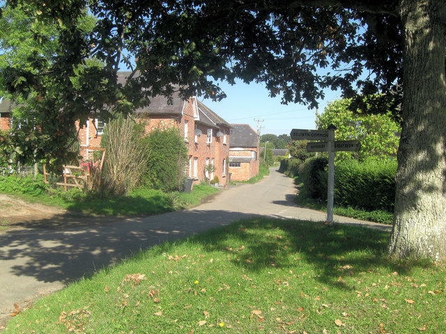
Image: © Stuart Logan Taken: 29 Sep 2011
This little hamlet is noted for the nearby St Martin's Chapel and Iron Age earthwork. Ramsbury is north along the lane, after crossing the A4 and behind the photographer the Chisbury Lane and Bedwyn Common.
Images are licensed for reuse under creativecommons.org/licenses/by-sa/2.0
Image Location
Latitude
51.394796
Longitude
-1.603253