The A419 at Swindon
Introduction
The photograph on this page of The A419 at Swindon by James Denham as part of the Geograph project.
The Geograph project started in 2005 with the aim of publishing, organising and preserving representative images for every square kilometre of Great Britain, Ireland and the Isle of Man.

There are currently over 7.5m images from over 14,400 individuals and you can help contribute to the project by visiting https://www.geograph.org.uk
The A419 at Swindon
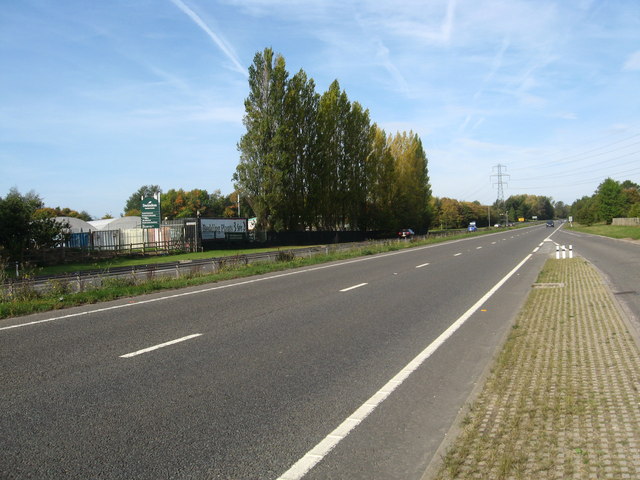
Image: © James Denham Taken: 23 Sep 2011
Heading towards Cirencester. The buildings on the left of the photograph is a garden centre.
Images are licensed for reuse under creativecommons.org/licenses/by-sa/2.0
Image Location
Latitude
51.597814
Longitude
-1.767226