Rise Farm
Introduction
The photograph on this page of Rise Farm by Oast House Archive as part of the Geograph project.
The Geograph project started in 2005 with the aim of publishing, organising and preserving representative images for every square kilometre of Great Britain, Ireland and the Isle of Man.

There are currently over 7.5m images from over 14,400 individuals and you can help contribute to the project by visiting https://www.geograph.org.uk
Rise Farm
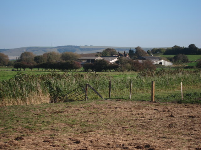
Image: © Oast House Archive Taken: 27 Sep 2011
A farm sitting on The Brooks. The area to the foreground is Lewes Brooks RSPB nature reserve.
Images are licensed for reuse under creativecommons.org/licenses/by-sa/2.0
Image Location
Latitude
50.86339
Longitude
0.008731