Lane junctions at Pound Corner
Introduction
The photograph on this page of Lane junctions at Pound Corner by Dave Spicer as part of the Geograph project.
The Geograph project started in 2005 with the aim of publishing, organising and preserving representative images for every square kilometre of Great Britain, Ireland and the Isle of Man.

There are currently over 7.5m images from over 14,400 individuals and you can help contribute to the project by visiting https://www.geograph.org.uk
Lane junctions at Pound Corner
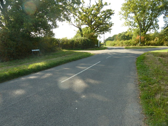
Image: © Dave Spicer Taken: 27 Sep 2011
Swallows Lane, Pound Lane and Countryman Lane meet here with the farm road to Hammer Farm on the left.
Images are licensed for reuse under creativecommons.org/licenses/by-sa/2.0
Image Location
Latitude
50.979595
Longitude
-0.366769