Houses at the junction of Point Road and Carrickinab Road
Introduction
The photograph on this page of Houses at the junction of Point Road and Carrickinab Road by Eric Jones as part of the Geograph project.
The Geograph project started in 2005 with the aim of publishing, organising and preserving representative images for every square kilometre of Great Britain, Ireland and the Isle of Man.

There are currently over 7.5m images from over 14,400 individuals and you can help contribute to the project by visiting https://www.geograph.org.uk
Houses at the junction of Point Road and Carrickinab Road
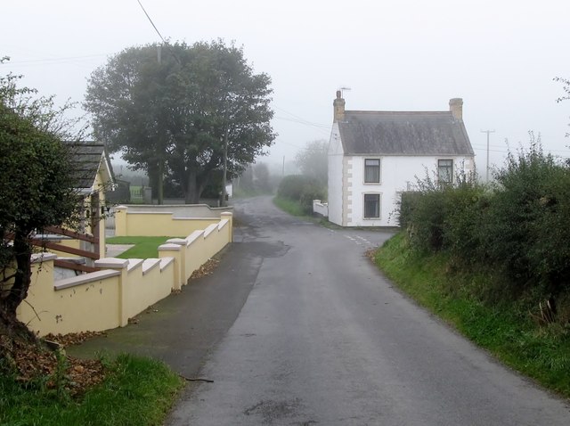
Image: © Eric Jones Taken: 29 Sep 2011
In this very rural area of Co Down houses cluster around road junctions and crossroads.
Images are licensed for reuse under creativecommons.org/licenses/by-sa/2.0
Image Location
Latitude
54.279085
Longitude
-5.784682