Teconnaught Community Centre
Introduction
The photograph on this page of Teconnaught Community Centre by Kenneth Allen as part of the Geograph project.
The Geograph project started in 2005 with the aim of publishing, organising and preserving representative images for every square kilometre of Great Britain, Ireland and the Isle of Man.

There are currently over 7.5m images from over 14,400 individuals and you can help contribute to the project by visiting https://www.geograph.org.uk
Teconnaught Community Centre
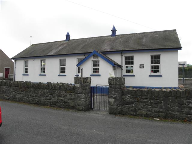
Image: © Kenneth Allen Taken: 28 Sep 2011
The building was erected in 1900 as Teconnaught National School See close-up of plaque of the old national school built in 1900 Image] and plaque to commemorate the conversion to a hall in 1998 Image]
Images are licensed for reuse under creativecommons.org/licenses/by-sa/2.0
Image Location
Latitude
54.369163
Longitude
-5.791837