Parish Church of St Wlfrid, Northenden
Introduction
The photograph on this page of Parish Church of St Wlfrid, Northenden by David Dixon as part of the Geograph project.
The Geograph project started in 2005 with the aim of publishing, organising and preserving representative images for every square kilometre of Great Britain, Ireland and the Isle of Man.

There are currently over 7.5m images from over 14,400 individuals and you can help contribute to the project by visiting https://www.geograph.org.uk
Parish Church of St Wlfrid, Northenden
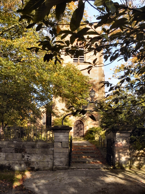
Image: © David Dixon Taken: 27 Sep 2011
The Parish Church of St Wilfrid, Northenden is a Grade II* listed building. Most of the church's structure was rebuilt in the 19th century, although the tower dates from the 15th century.
Images are licensed for reuse under creativecommons.org/licenses/by-sa/2.0
Image Location
Latitude
53.406996
Longitude
-2.253874