Access to "Wks"
Introduction
The photograph on this page of Access to "Wks" by Andrew Tatlow as part of the Geograph project.
The Geograph project started in 2005 with the aim of publishing, organising and preserving representative images for every square kilometre of Great Britain, Ireland and the Isle of Man.

There are currently over 7.5m images from over 14,400 individuals and you can help contribute to the project by visiting https://www.geograph.org.uk
Access to "Wks"
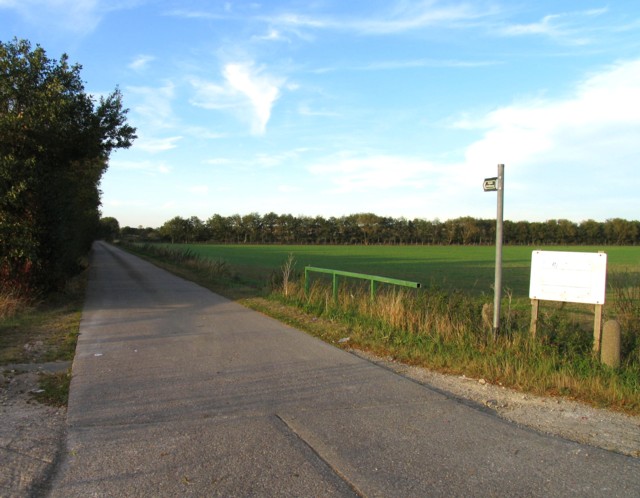
Image: © Andrew Tatlow Taken: 27 Sep 2011
The satellite picture shows a large sewage works at the end of the track. The sign was very faded.
Images are licensed for reuse under creativecommons.org/licenses/by-sa/2.0
Image Location
Latitude
52.973466
Longitude
-0.652117