Footpath to Cragg Vale
Introduction
The photograph on this page of Footpath to Cragg Vale by Bill Boaden as part of the Geograph project.
The Geograph project started in 2005 with the aim of publishing, organising and preserving representative images for every square kilometre of Great Britain, Ireland and the Isle of Man.

There are currently over 7.5m images from over 14,400 individuals and you can help contribute to the project by visiting https://www.geograph.org.uk
Footpath to Cragg Vale
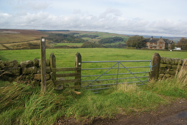
Image: © Bill Boaden Taken: 25 Sep 2011
It descends from Round Hill where it joins the Calderdale Way.
Images are licensed for reuse under creativecommons.org/licenses/by-sa/2.0
Image Location
Latitude
53.693634
Longitude
-1.994056