Farmland south of the Ballygilbert Road
Introduction
The photograph on this page of Farmland south of the Ballygilbert Road by Eric Jones as part of the Geograph project.
The Geograph project started in 2005 with the aim of publishing, organising and preserving representative images for every square kilometre of Great Britain, Ireland and the Isle of Man.

There are currently over 7.5m images from over 14,400 individuals and you can help contribute to the project by visiting https://www.geograph.org.uk
Farmland south of the Ballygilbert Road
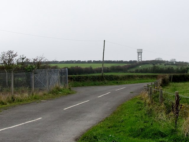
Image: © Eric Jones Taken: 28 Sep 2011
The land rises south of the road. The hill is topped by the Ballygilbert Water Tower which is in the neighbouring square. This is an area mainly of pastoral farming.
Images are licensed for reuse under creativecommons.org/licenses/by-sa/2.0
Image Location
Latitude
54.268204
Longitude
-5.665216