Bridleway near Brenscombe Heath
Introduction
The photograph on this page of Bridleway near Brenscombe Heath by Phil Champion as part of the Geograph project.
The Geograph project started in 2005 with the aim of publishing, organising and preserving representative images for every square kilometre of Great Britain, Ireland and the Isle of Man.

There are currently over 7.5m images from over 14,400 individuals and you can help contribute to the project by visiting https://www.geograph.org.uk
Bridleway near Brenscombe Heath
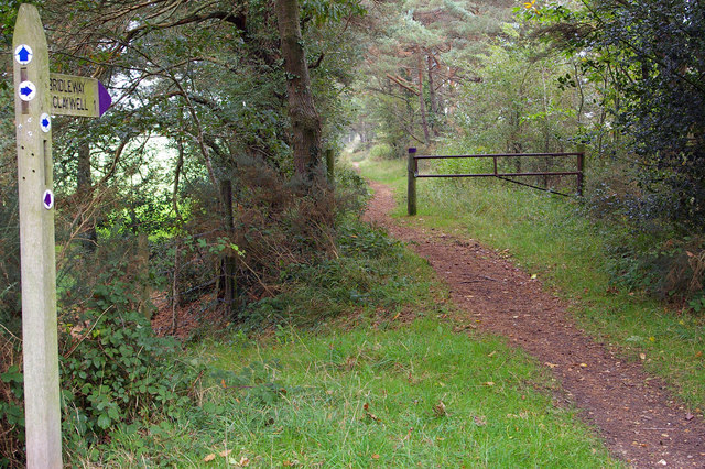
Image: © Phil Champion Taken: 14 Oct 2006
This bridleway follows the trackbed of a disused tramway, one of a number of narrow gauge lines in the area which served the local ball clay mines well into the 20th century.
Images are licensed for reuse under creativecommons.org/licenses/by-sa/2.0
Image Location


Leaflet Map data © OpenStreetMap
Latitude
50.651178
Longitude
-2.029652