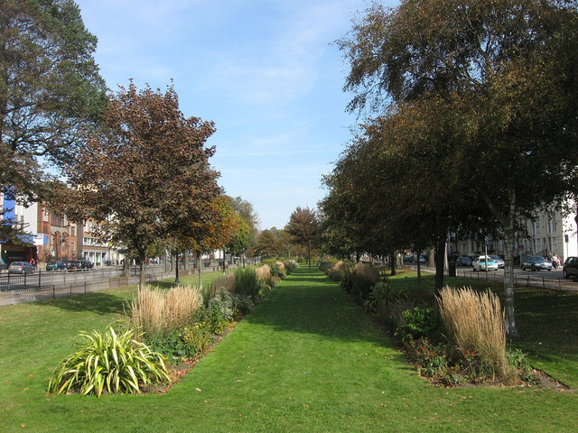
Victoria Gardens
Introduction
The photograph on this page of Victoria Gardens by Simon Carey as part of the Geograph project.
The Geograph project started in 2005 with the aim of publishing, organising and preserving representative images for every square kilometre of Great Britain, Ireland and the Isle of Man.
There are currently over 7.5m images from over 14,400 individuals and you can help contribute to the project by visiting https://www.geograph.org.uk

Image: © Simon Carey Taken: 25 Sep 2011
A public park that lies between the one way system of the A23 as it heads south to the Old Steine. Originally an area of marshy ground that lay next to the Whalesborne, Brighton's old river, it had become an open space by the 18th century and was enclosed in 1787 and used for fairs, exhibitions and cricket. The space was turned into a private park around 1819 and became public in the 1890s. There are two parts of the gardens, the northern and southern enclosures which are split by North Road. This forms part of the former.

