Ham View, Upton-upon-Severn
Introduction
The photograph on this page of Ham View, Upton-upon-Severn by Bob Embleton as part of the Geograph project.
The Geograph project started in 2005 with the aim of publishing, organising and preserving representative images for every square kilometre of Great Britain, Ireland and the Isle of Man.

There are currently over 7.5m images from over 14,400 individuals and you can help contribute to the project by visiting https://www.geograph.org.uk
Ham View, Upton-upon-Severn
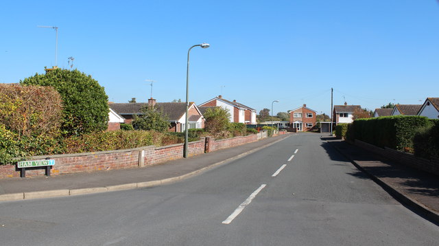
Image: © Bob Embleton Taken: 28 Sep 2011
A 1970s development of private detached houses. The houses at the end of the road have views over the River Severn flood plain known as Upton Ham.
Images are licensed for reuse under creativecommons.org/licenses/by-sa/2.0
Image Location
Latitude
52.061066
Longitude
-2.212763