Under the arch of the Bridge of Gibston
Introduction
The photograph on this page of Under the arch of the Bridge of Gibston by Stanley Howe as part of the Geograph project.
The Geograph project started in 2005 with the aim of publishing, organising and preserving representative images for every square kilometre of Great Britain, Ireland and the Isle of Man.

There are currently over 7.5m images from over 14,400 individuals and you can help contribute to the project by visiting https://www.geograph.org.uk
Under the arch of the Bridge of Gibston
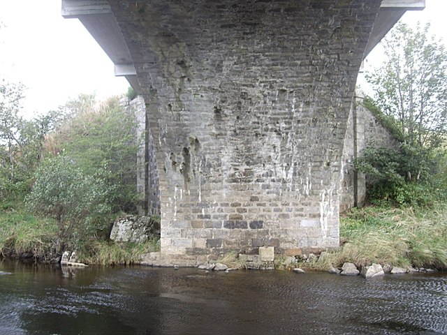
Image: © Stanley Howe Taken: 26 Sep 2011
Coutesy relatively low water in the River Deveron.
Images are licensed for reuse under creativecommons.org/licenses/by-sa/2.0
Image Location
Latitude
57.455192
Longitude
-2.804748