Railway bridge over Brayard's Road
Introduction
The photograph on this page of Railway bridge over Brayard's Road by David Anstiss as part of the Geograph project.
The Geograph project started in 2005 with the aim of publishing, organising and preserving representative images for every square kilometre of Great Britain, Ireland and the Isle of Man.

There are currently over 7.5m images from over 14,400 individuals and you can help contribute to the project by visiting https://www.geograph.org.uk
Railway bridge over Brayard's Road
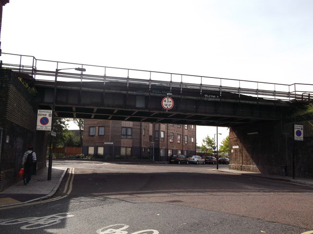
Image: © David Anstiss Taken: 25 Sep 2011
The bridge is at the junction of Brayard's Road and Gordon Road. Brayard's Road leads straight on from Hollydale Road towards Copeland Road. Gordon Road leads right towards to Consort Road, or left towards Evelina Road. The bridge carries the line between Nunhead and Peckham Rye.
Images are licensed for reuse under creativecommons.org/licenses/by-sa/2.0
Image Location
Latitude
51.468998
Longitude
-0.061251