Former RAF hutments converted into dwellings
Introduction
The photograph on this page of Former RAF hutments converted into dwellings by Eric Jones as part of the Geograph project.
The Geograph project started in 2005 with the aim of publishing, organising and preserving representative images for every square kilometre of Great Britain, Ireland and the Isle of Man.

There are currently over 7.5m images from over 14,400 individuals and you can help contribute to the project by visiting https://www.geograph.org.uk
Former RAF hutments converted into dwellings
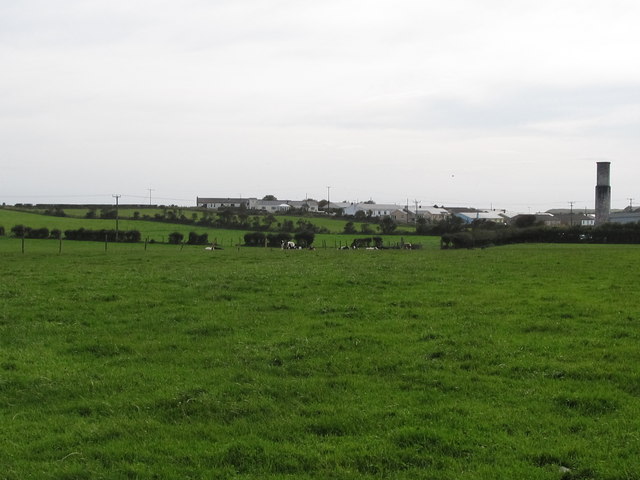
Image: © Eric Jones Taken: 23 Sep 2011
The present day village of Ballyhornan consists mainly of converted RAF buildings. These contrast with the core area consisting mainly of farm cottages and farm buildings.
Images are licensed for reuse under creativecommons.org/licenses/by-sa/2.0
Image Location
Latitude
54.298239
Longitude
-5.561965