The Bridgewater Canal from beneath Preston Brook Bridge, Cheshire
Introduction
The photograph on this page of The Bridgewater Canal from beneath Preston Brook Bridge, Cheshire by Roger D Kidd as part of the Geograph project.
The Geograph project started in 2005 with the aim of publishing, organising and preserving representative images for every square kilometre of Great Britain, Ireland and the Isle of Man.

There are currently over 7.5m images from over 14,400 individuals and you can help contribute to the project by visiting https://www.geograph.org.uk
The Bridgewater Canal from beneath Preston Brook Bridge, Cheshire
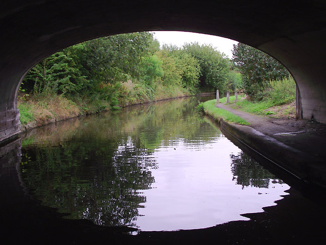
Image: © Roger D Kidd Taken: 30 Aug 2011
The Bridgewater Canal was opened in stages between 1761 and 1795 with the main purpose of carrying coal. It continued to carry commercial traffic until 1974. David Dixon has provided this extra information:
Images are licensed for reuse under creativecommons.org/licenses/by-sa/2.0
Image Location
Latitude
53.320932
Longitude
-2.649621