18 St Lucia Crescent
Introduction
The photograph on this page of 18 St Lucia Crescent by Linda Bailey as part of the Geograph project.
The Geograph project started in 2005 with the aim of publishing, organising and preserving representative images for every square kilometre of Great Britain, Ireland and the Isle of Man.

There are currently over 7.5m images from over 14,400 individuals and you can help contribute to the project by visiting https://www.geograph.org.uk
18 St Lucia Crescent
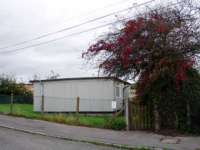
Image: © Linda Bailey Taken: 3 Oct 2006
Photograph taken of the prefab before it was demolished on 17th Oct 2006 Image
Images are licensed for reuse under creativecommons.org/licenses/by-sa/2.0
Image Location
Latitude
51.49443
Longitude
-2.587365