Eroding cliffs along the Killard Road
Introduction
The photograph on this page of Eroding cliffs along the Killard Road by Eric Jones as part of the Geograph project.
The Geograph project started in 2005 with the aim of publishing, organising and preserving representative images for every square kilometre of Great Britain, Ireland and the Isle of Man.

There are currently over 7.5m images from over 14,400 individuals and you can help contribute to the project by visiting https://www.geograph.org.uk
Eroding cliffs along the Killard Road
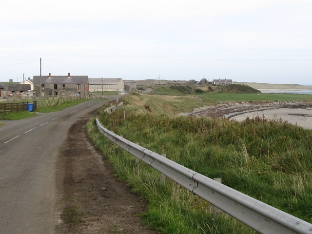
Image: © Eric Jones Taken: 23 Sep 2011
The barriers are intended to stop vehicles and pedestrians from entering the unstable cliff-top zone. The farmhouse on the left is another abandoned dwelling.
Images are licensed for reuse under creativecommons.org/licenses/by-sa/2.0
Image Location
Latitude
54.307687
Longitude
-5.549266