Path junction in Ladywell Fields
Introduction
The photograph on this page of Path junction in Ladywell Fields by David Anstiss as part of the Geograph project.
The Geograph project started in 2005 with the aim of publishing, organising and preserving representative images for every square kilometre of Great Britain, Ireland and the Isle of Man.

There are currently over 7.5m images from over 14,400 individuals and you can help contribute to the project by visiting https://www.geograph.org.uk
Path junction in Ladywell Fields
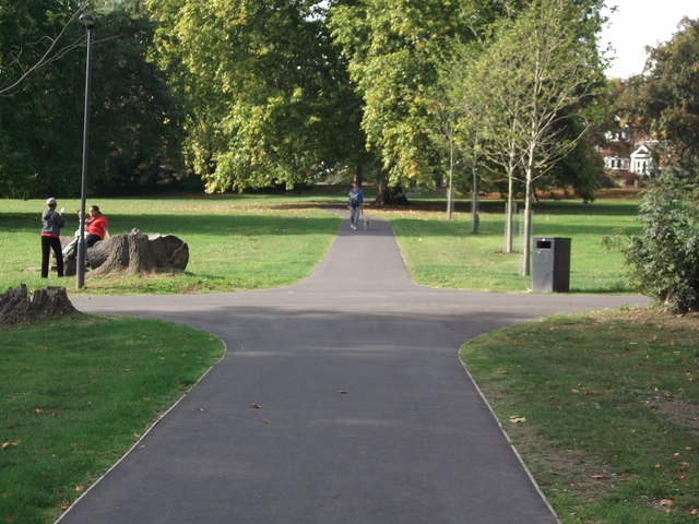
Image: © David Anstiss Taken: 25 Sep 2011
A path leads straight on from the Ravensbourne River path towards Ravensbourne Park (road). Another path leads right towards Ewhurst Road, or left towards the Ravensbourne River path.
Images are licensed for reuse under creativecommons.org/licenses/by-sa/2.0
Image Location
Latitude
51.448483
Longitude
-0.028156