Ship public house (site of)
Introduction
The photograph on this page of Ship public house (site of) by Chris Lordan as part of the Geograph project.
The Geograph project started in 2005 with the aim of publishing, organising and preserving representative images for every square kilometre of Great Britain, Ireland and the Isle of Man.

There are currently over 7.5m images from over 14,400 individuals and you can help contribute to the project by visiting https://www.geograph.org.uk
Ship public house (site of)
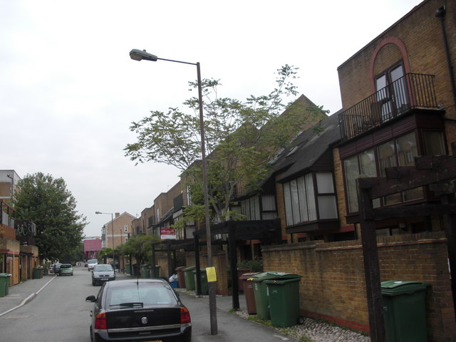
Image: © Chris Lordan Taken: 31 Aug 2011
The pub stood at 194 Rotherhithe Street, London, SE16 junction with Neston Street from 1805 until 1961, although I believe it stopped trading before that. It would have stood where the red notice board can be seen on the right which is 200 Rotherhithe Street.
Images are licensed for reuse under creativecommons.org/licenses/by-sa/2.0
Image Location
Latitude
51.502719
Longitude
-0.05031