Drive to Lower Farm
Introduction
The photograph on this page of Drive to Lower Farm by Rob Farrow as part of the Geograph project.
The Geograph project started in 2005 with the aim of publishing, organising and preserving representative images for every square kilometre of Great Britain, Ireland and the Isle of Man.

There are currently over 7.5m images from over 14,400 individuals and you can help contribute to the project by visiting https://www.geograph.org.uk
Drive to Lower Farm
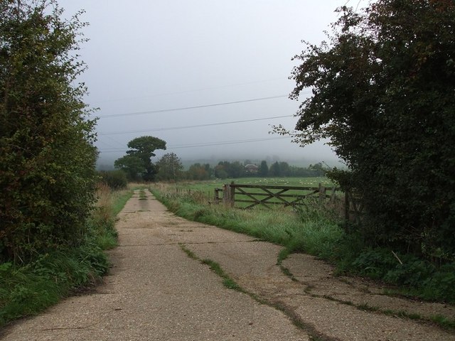
Image: © Rob Farrow Taken: 13 Oct 2006
This is the driveway leading off Carter's Lane to Lower Farm which can just be seen emerging from the mist in the centre of the photograph.
Images are licensed for reuse under creativecommons.org/licenses/by-sa/2.0
Image Location
Latitude
51.87441
Longitude
-0.889754