Lanes diverge
Introduction
The photograph on this page of Lanes diverge by Rob Farrow as part of the Geograph project.
The Geograph project started in 2005 with the aim of publishing, organising and preserving representative images for every square kilometre of Great Britain, Ireland and the Isle of Man.

There are currently over 7.5m images from over 14,400 individuals and you can help contribute to the project by visiting https://www.geograph.org.uk
Lanes diverge
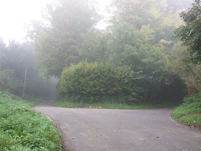
Image: © Rob Farrow Taken: 13 Oct 2006
Taken from the southern section of Weir Lane looking north, this lane continues to the left while Castle Lane diverges to the right. Weir Lane divides the two possible sites for the ancient Bolebec Castle - To the right (East) here is the Image] while to the left in a field is Image]
Images are licensed for reuse under creativecommons.org/licenses/by-sa/2.0
Image Location


Leaflet Map data © OpenStreetMap
Latitude
51.880139
Longitude
-0.840508