Maraig
Introduction
The photograph on this page of Maraig by Colin Smith as part of the Geograph project.
The Geograph project started in 2005 with the aim of publishing, organising and preserving representative images for every square kilometre of Great Britain, Ireland and the Isle of Man.

There are currently over 7.5m images from over 14,400 individuals and you can help contribute to the project by visiting https://www.geograph.org.uk
Maraig
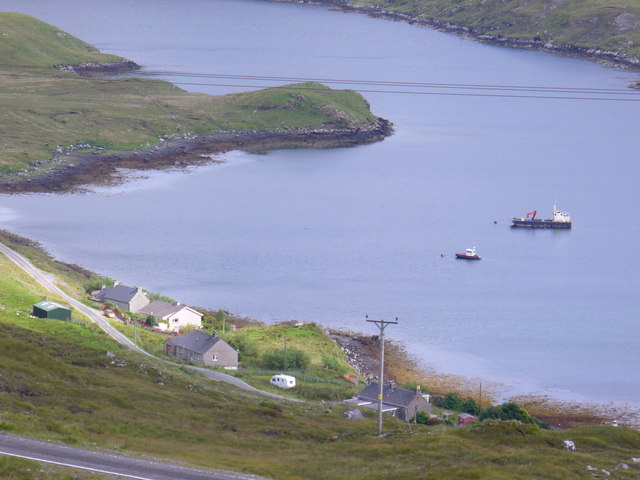
Image: © Colin Smith Taken: 23 Jul 2011
Crofts scattered along the lochside road at the west end of Loch Maraig. A couple of fishing boats are at anchor in the sheltered bay off Loch Seaforth.
Images are licensed for reuse under creativecommons.org/licenses/by-sa/2.0
Image Location
Latitude
57.953546
Longitude
-6.735779