St Mary's church and Somerset Estate, Battersea
Introduction
The photograph on this page of St Mary's church and Somerset Estate, Battersea by Derek Harper as part of the Geograph project.
The Geograph project started in 2005 with the aim of publishing, organising and preserving representative images for every square kilometre of Great Britain, Ireland and the Isle of Man.

There are currently over 7.5m images from over 14,400 individuals and you can help contribute to the project by visiting https://www.geograph.org.uk
St Mary's church and Somerset Estate, Battersea
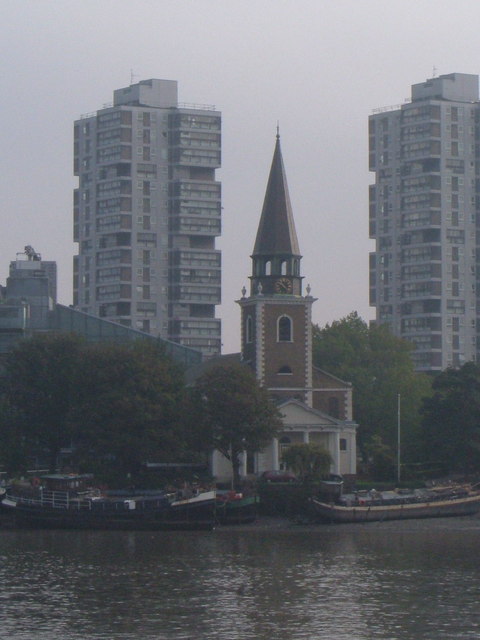
Image: © Derek Harper Taken: 14 Oct 2006
The 1775 church (by Joseph Dixon) between the two 1964 tower blocks, Selworthy House and Sparkford House (which is which?). The sloping roof on the left is the southern end of the Montevetro block (1999). Seen from across the River Thames where the Thames Path currently turns inland to round Chelsea Creek.
Images are licensed for reuse under creativecommons.org/licenses/by-sa/2.0
Image Location
Latitude
51.475959
Longitude
-0.175582