Clarendon Road
Introduction
The photograph on this page of Clarendon Road by Ian Capper as part of the Geograph project.
The Geograph project started in 2005 with the aim of publishing, organising and preserving representative images for every square kilometre of Great Britain, Ireland and the Isle of Man.

There are currently over 7.5m images from over 14,400 individuals and you can help contribute to the project by visiting https://www.geograph.org.uk
Clarendon Road
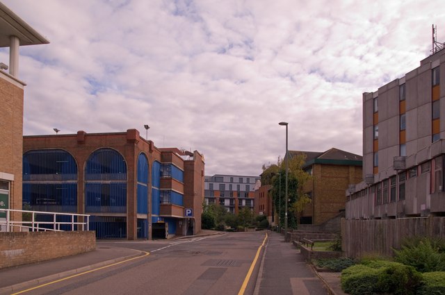
Image: © Ian Capper Taken: 29 Aug 2011
Once a road of Victorian houses, as part of the early development of Redhill following the arrival of the railway in the mid 19th century, it has now been taken over by offices, a multi-storey car park (in the left background) and Redhill Telephone Exchange (on the right) .
Images are licensed for reuse under creativecommons.org/licenses/by-sa/2.0
Image Location
Latitude
51.241998
Longitude
-0.169324