Sampford Manor / Hall Farm
Introduction
The photograph on this page of Sampford Manor / Hall Farm by Derek Harper as part of the Geograph project.
The Geograph project started in 2005 with the aim of publishing, organising and preserving representative images for every square kilometre of Great Britain, Ireland and the Isle of Man.

There are currently over 7.5m images from over 14,400 individuals and you can help contribute to the project by visiting https://www.geograph.org.uk
Sampford Manor / Hall Farm
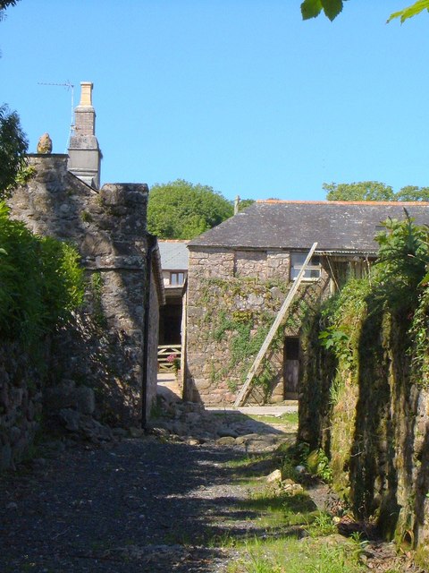
Image: © Derek Harper Taken: 4 Jun 2006
The name varies according to map scale / source. The farm buildings shown are described at http://www.britishlistedbuildings.co.uk/en-99182-farm-buildings-immediately-south-east-of- , which gives Hall Farm as the name, but there are the remains of a manor house nearby. This view is from the lane between Harford and Tor.
Images are licensed for reuse under creativecommons.org/licenses/by-sa/2.0
Image Location
Latitude
50.421247
Longitude
-3.92876