River Bollin
Introduction
The photograph on this page of River Bollin by michael ely as part of the Geograph project.
The Geograph project started in 2005 with the aim of publishing, organising and preserving representative images for every square kilometre of Great Britain, Ireland and the Isle of Man.

There are currently over 7.5m images from over 14,400 individuals and you can help contribute to the project by visiting https://www.geograph.org.uk
River Bollin
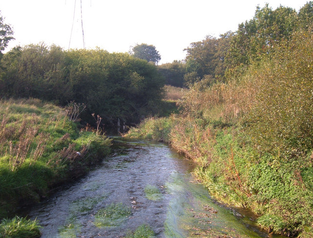
Image: © michael ely Taken: 16 Oct 2006
Here the River Bollin shares a narrow corridor with the Bollin Way recreational path and the west coast railway line from Manchester. Looking NW from a footbridge over the river.
Images are licensed for reuse under creativecommons.org/licenses/by-sa/2.0
Image Location
Latitude
53.272803
Longitude
-2.140914