Roadside waymarker for the Sussex Ouse Valley Way
Introduction
The photograph on this page of Roadside waymarker for the Sussex Ouse Valley Way by Dave Spicer as part of the Geograph project.
The Geograph project started in 2005 with the aim of publishing, organising and preserving representative images for every square kilometre of Great Britain, Ireland and the Isle of Man.

There are currently over 7.5m images from over 14,400 individuals and you can help contribute to the project by visiting https://www.geograph.org.uk
Roadside waymarker for the Sussex Ouse Valley Way
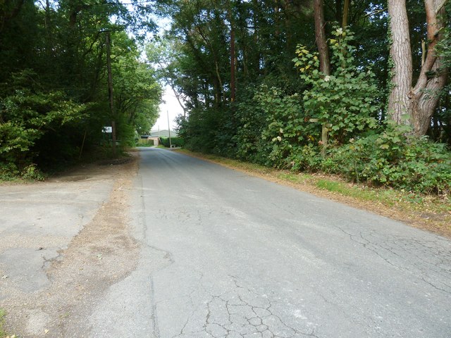
Image: © Dave Spicer Taken: 18 Sep 2011
The path emerges from Rotherfield Wood to the left onto Mill Lane and within a few yards turns left down Newick Hill.
Images are licensed for reuse under creativecommons.org/licenses/by-sa/2.0
Image Location
Latitude
50.982386
Longitude
0.008022