Site of the Former Red Cow Inn
Introduction
The photograph on this page of Site of the Former Red Cow Inn by Brian Henley as part of the Geograph project.
The Geograph project started in 2005 with the aim of publishing, organising and preserving representative images for every square kilometre of Great Britain, Ireland and the Isle of Man.

There are currently over 7.5m images from over 14,400 individuals and you can help contribute to the project by visiting https://www.geograph.org.uk
Site of the Former Red Cow Inn
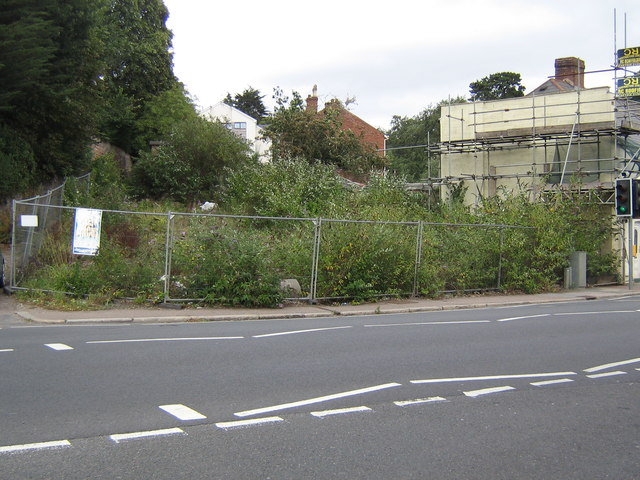
Image: © Brian Henley Taken: 11 Aug 2011
This is the location of the Red Cow Inn, the public house from which this area of Exeter gets its name. It was demolished in 2006.
Images are licensed for reuse under creativecommons.org/licenses/by-sa/2.0
Image Location
Latitude
50.730993
Longitude
-3.542422