Buildings at Lyons Court Farm, Whitchurch
Introduction
The photograph on this page of Buildings at Lyons Court Farm, Whitchurch by Derek Harper as part of the Geograph project.
The Geograph project started in 2005 with the aim of publishing, organising and preserving representative images for every square kilometre of Great Britain, Ireland and the Isle of Man.

There are currently over 7.5m images from over 14,400 individuals and you can help contribute to the project by visiting https://www.geograph.org.uk
Buildings at Lyons Court Farm, Whitchurch
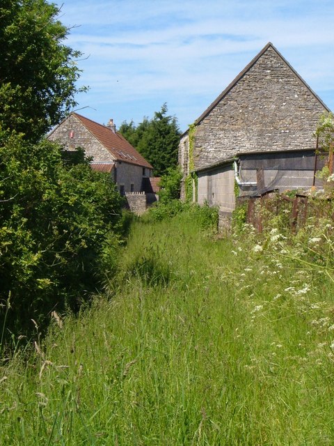
Image: © Derek Harper Taken: 3 Jun 2006
Seen from a public footpath between the A37 and Church Road, with a barn conversion on the left. Hidden behind the barn on the right is the grade II* listed C15 farmhouse http://www.britishlistedbuildings.co.uk/en-32638-lyons-court-farmhouse-whitchurch .
Images are licensed for reuse under creativecommons.org/licenses/by-sa/2.0
Image Location
Latitude
51.403365
Longitude
-2.564921