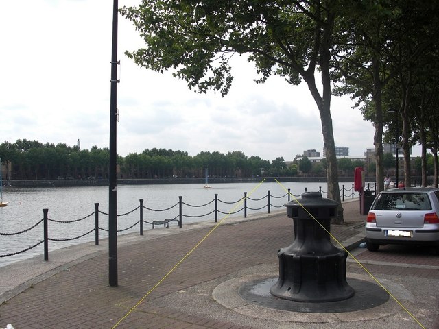
Sir William Gomm public house (site of)
Introduction
The photograph on this page of Sir William Gomm public house (site of) by Chris Lordan as part of the Geograph project.
The Geograph project started in 2005 with the aim of publishing, organising and preserving representative images for every square kilometre of Great Britain, Ireland and the Isle of Man.
There are currently over 7.5m images from over 14,400 individuals and you can help contribute to the project by visiting https://www.geograph.org.uk

Image: © Chris Lordan Taken: 19 Aug 2011
Site of that was in Commercial Street, Rotherhithe, SE16 (long demolished) from 1857 to 1873.Named after Sir William Maynard Gomm (1784-1875) Lord of the manor of Rotherhithe from 1822 until his death. Claimed that it was close to the dock and bought by the dock authorities when it was decided to lengthen Greenland Dock. Only one 'reasonable' place for its location on an 1868 map and by superimposing that map with a 1916 map (same scale) = position shown. Yellow lines indicate the path of Commercial Street. 50 yards behind me is the 'Moby Dick' pub. A second Sir W.G. pub was built in 1832 in Abbeyfield Road, SE16.

