Quebec Curve public house (ex)
Introduction
The photograph on this page of Quebec Curve public house (ex) by Chris Lordan as part of the Geograph project.
The Geograph project started in 2005 with the aim of publishing, organising and preserving representative images for every square kilometre of Great Britain, Ireland and the Isle of Man.

There are currently over 7.5m images from over 14,400 individuals and you can help contribute to the project by visiting https://www.geograph.org.uk
Quebec Curve public house (ex)
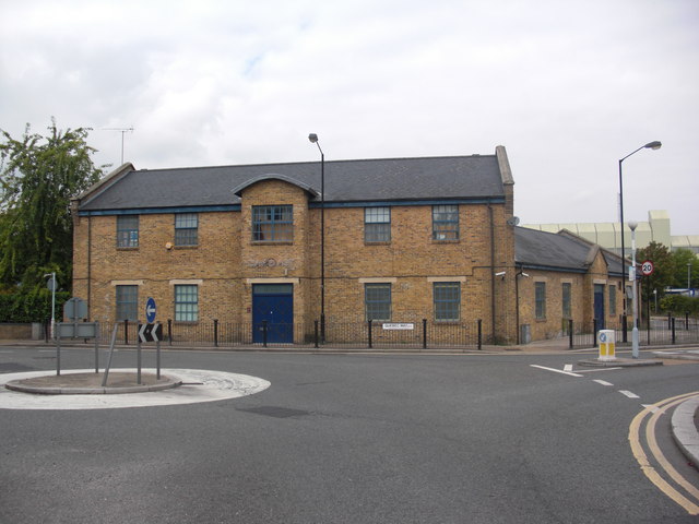
Image: © Chris Lordan Taken: 31 Aug 2011
Premises are a converted warehouse at 100 Redriff Road, Rotherhithe, SE16. A 'new' pub that didn't quite make it. It being 'new' I do not know anything about it other than that it is now a Vietnamese restaurant.
Images are licensed for reuse under creativecommons.org/licenses/by-sa/2.0
Image Location
Latitude
51.496278
Longitude
-0.041509