Prince Regent public house (site of)
Introduction
The photograph on this page of Prince Regent public house (site of) by Chris Lordan as part of the Geograph project.
The Geograph project started in 2005 with the aim of publishing, organising and preserving representative images for every square kilometre of Great Britain, Ireland and the Isle of Man.

There are currently over 7.5m images from over 14,400 individuals and you can help contribute to the project by visiting https://www.geograph.org.uk
Prince Regent public house (site of)
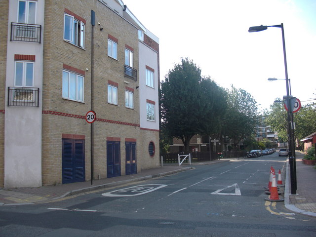
Image: © Chris Lordan Taken: 24 Jul 2011
Site of that was the east side of Clarence Street, Rotherhithe,SE16 (now Canon Beck Road), from 1814 to 1821. After looking at many maps I have taken an 'educated guess' and placed it between Brunel Road (where I am standing to take the image) down to the old Albion Dock as per image.
Images are licensed for reuse under creativecommons.org/licenses/by-sa/2.0
Image Location
Latitude
51.501196
Longitude
-0.050664