Plough public house II (site of)
Introduction
The photograph on this page of Plough public house II (site of) by Chris Lordan as part of the Geograph project.
The Geograph project started in 2005 with the aim of publishing, organising and preserving representative images for every square kilometre of Great Britain, Ireland and the Isle of Man.

There are currently over 7.5m images from over 14,400 individuals and you can help contribute to the project by visiting https://www.geograph.org.uk
Plough public house II (site of)
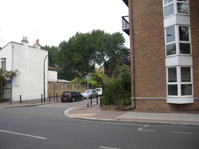
Image: © Chris Lordan Taken: 17 Aug 2011
Site was Plough Road (now Plough Way), Rotherhithe, SE16 very near the junction with the Swedish Yard entrance to Surrey Docks, from 1900 to about 1961. Originally in Commercial Dock Road - see Image Site now occupied by Caronia Court, 71, Plough Way.
Images are licensed for reuse under creativecommons.org/licenses/by-sa/2.0
Image Location
Latitude
51.492511
Longitude
-0.042103