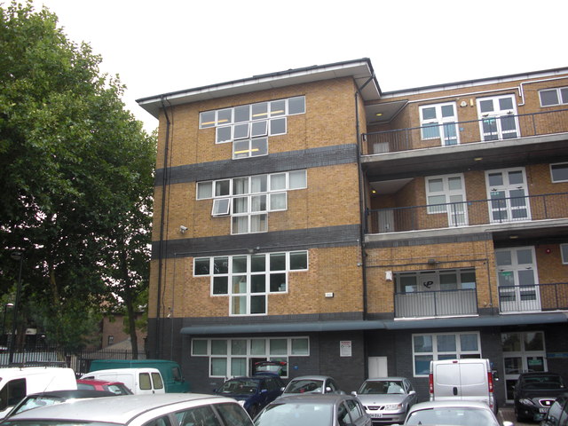
Plough public house (1) (site of)
Introduction
The photograph on this page of Plough public house (1) (site of) by Chris Lordan as part of the Geograph project.
The Geograph project started in 2005 with the aim of publishing, organising and preserving representative images for every square kilometre of Great Britain, Ireland and the Isle of Man.
There are currently over 7.5m images from over 14,400 individuals and you can help contribute to the project by visiting https://www.geograph.org.uk

Image: © Chris Lordan Taken: 17 Aug 2011
Site of that was in Commercial Dock Road (long demolished), Rotherhithe, SE16 opposite Plough Road (now Plough Way). Opened 1746 and closed 1900 when the land was taken over by the dock authorities to expand the dock area. Pub moved to Plough Road - see Image Site now occupied by the dwellings shown which are in Rope Street at the junction with Sweden Gate.

