View of the railway lines out of Stratford
Introduction
The photograph on this page of View of the railway lines out of Stratford by Robert Lamb as part of the Geograph project.
The Geograph project started in 2005 with the aim of publishing, organising and preserving representative images for every square kilometre of Great Britain, Ireland and the Isle of Man.

There are currently over 7.5m images from over 14,400 individuals and you can help contribute to the project by visiting https://www.geograph.org.uk
View of the railway lines out of Stratford
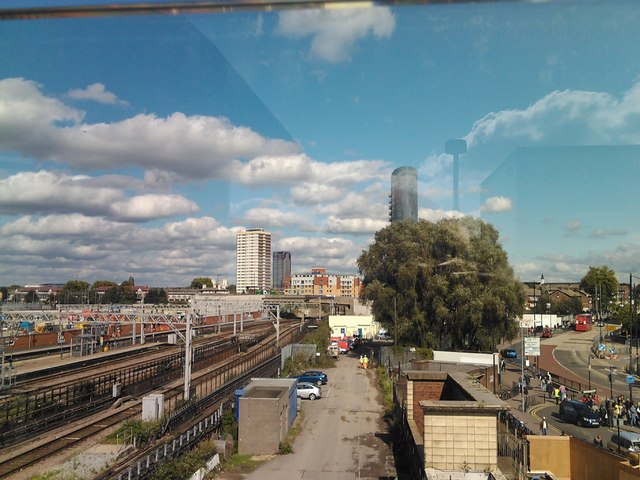
Image: © Robert Lamb Taken: 21 Sep 2011
For the first time, we are able to get a wide view of all the railway lines in and out of Stratford thanks to the footbridge connecting the station to the nearby Westfield shopping centre. The "ultimate phallic symbol" building can be seen above the trees on the right. Looking northeast towards Leyton station on the Central line and Maryland station on the National Rail lines.
Images are licensed for reuse under creativecommons.org/licenses/by-sa/2.0
Image Location
Latitude
51.543173
Longitude
-0.001423